Data and mapping
Any future smart energy system will generate and consume numerous different types of data from a variety of sources when operational. Project LEO is working to couple the location of local energy assets (e.g. solar farms and batteries), with the time varying response of both energy generation and demand.
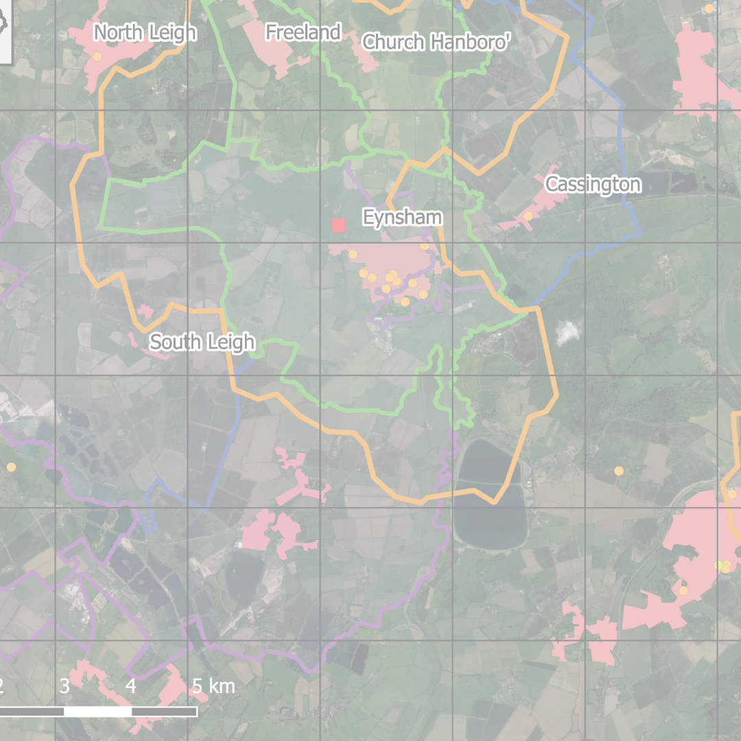
Making use of the data available to us, both from external sources and internally generated we can evaluate past performance, optimise operation, prioritise retrofit opportunities, and inform future local clean growth strategies. One of the ways we are doing this is through the LEO Geospatial Land Use Mapping Tool. This is the first step towards an intelligent spatial energy mapping tool. The map draws together into a single space a wide range of information on land use (including environmental and landscape designations, agricultural grade, flood risk zones, planned housing and employment growth) and energy assets in Oxfordshire.
Project LEO is also contributing to defining new energy related data standards and data curation methods to ensure future value can be extracted by stakeholders beyond the project.
This work is led by researchers at the University of Oxford, in collaboration with researchers at Oxford Brookes University and the Innovation team at Oxfordshire County Council.
Whilst LEMAP, created by Oxford Brookes University, provides the local detail needed to plan smart and fair neighbourhoods, the Oxfordshire County Council team continue to develop a countywide mapping tool to support strategic planning for a net zero carbon energy system.
Our new story map, Mapping Oxfordshire’s Energy Transition (arcgis.com) draws on some of the geospatial data already available to look at how – and, importantly, where – energy is used and generated across Oxfordshire. The map links to the Pathways to Zero Carbon Oxfordshire report published by Environmental Change Institute in Summer 2021 and highlights some of the key changes needed to reach net zero. Knowing where these changes are likely to happen will help identify where best to focus efforts, for example, suitable locations for targeted energy demand reduction programmes or installation of renewable generation or storage in areas with planned housing growth or where the electricity network is already working close to capacity.